St. Petersburg's "Deep Freeze" Breaks 1893 Record; Sweden Busts All-Time December Low (-46.8F); Bethel, Alaska Suffered Its Coldest November in 82 Years; + Grímsvötn Volcano Alert - Electroverse
Extreme Weather GSM Volcanic & Seismic Activity
ST. PETERSBURG’S “DEEP FREEZE” BREAKS 1893 RECORD; SWEDEN BUSTS ALL-TIME DECEMBER LOW (-46.8F); BETHEL, ALASKA SUFFERED ITS COLDEST NOVEMBER IN 82 YEARS; + GRÍMSVÖTN VOLCANO ALERT
DECEMBER 7, 2021 CAP ALLON
Professor Emeritus Ian Plimer: “
The hypothesis that human activity can create global warming is extraordinary because it is contrary to validated knowledge from solar physics, astronomy, history, archeology and geology.”
ST. PETERSBURG’S “DEEP FREEZE” BREAKS 1893 RECORD
Exceptionally cold weather has gripped the Russian city of St. Petersburg this week.
The chill has been so severe that all-time records have been tumbling: Monday morning’s low of almost
-21C (-5.8F) broke a daily benchmark set some 128 years ago, way back in 1893, according to meteorologist Mikhail Leus from the Fobos weather center.
“Today, St. Petersburg set a new daily cold weather record. Temperatures in the Northern Capital fell to minus 20.9 degrees, which is 0.4 degrees lower than on the same day back in 1893,” Leus wrote in a Facebook post.
But I think ‘Oly’ on Twitter sums it up best:
View: https://twitter.com/Olysibley/status/1467864801842024454
Run time is 0:06
Leus added that St. Petersburg, a port city located on the Baltic sea, had broken cold weather records just twice in the 21st century (before Monday): on July 14, 2015, and on January 3, 2002.
Looking ahead, Western Russia’s historic cold is forecast to linger, too.
This week, temperatures will range from
-16 to -18C (3.2 to -0.4F) in St. Petersburg, and between
-15 and -20C (5 to -4F) in and around Leningrad: “… the average daily temperature will be 16 to 17 degrees (C) lower than normal,” Leus noted.
Snow has also buffeted these two regions.
As reported by
hmn.ru, an already snowy St. Petersburg received further dumpings of
global warming goodness over the weekend, and by Monday, the snow depth had grown to a staggering
61cm (2ft) in the north of the city.
Shifting attention to Eastern Russia, record-breaking cold is also persisting here.
“Abnormally cold weather is in Yakutia,” is how another
hmn.ru article puts it.
Temperatures in the cities of Oymyakon and Delyankir, for example, have
continued to hold below -50C (-58F), which is unusually cold, even for them — a preliminary
-56.6C (-69.9F) was set in Delyankir yesterday:
View: https://twitter.com/ThierryGooseBC/status/1468035984608559106
The most recent record-breaker, however, occurred at “Jubilee”
(a Google mis-translation?) where on Sunday, December 5, “the cold increased to
-48.7C (-55.7F),” continues the
hmn.ru report — a reading that busted the locale’s previous record (from 1984) of -48.5C (-55.3F).
In the coming days, lows of -60C (-76F)
and beyond are on the cards — record-smashing for the time of year.
Russia's early-season cold hasn't just been confined to the land, either -- at least 20 ships remain stuck in unusually thick Arctic sea ice.

electroverse.net
SWEDEN BREAKS ALL-TIME DECEMBER LOW (-46.8F)
Sweden just set a new all-time low for December — and, according to thelocal.se, it will turn even colder as the month progresses.
Scandinavia has been holding exceptionally cold in recent weeks — as I
reported last month, the small tourist town of Nattavaara –327m (1,073ft) above sea level– registered
-37.4C (-35.3F) on Nov 29 — this reading was not only a record for the station, or for Sweden, but it was
Scandinavia’s coldest November temperature since 1980.
Since then, the mercury across
Scandia has continued to fall, and on Monday, December 5, temperatures below the freezing mark were registered across ALL of Sweden.
The remote settlement of Naimakka took the top spot, though: “At noon it was down to -42.7C (-44.9F),” said Emma Härenstam, a meteorologist at Sweden’s national weather agency (SMHI). But as the day went on, temperatures continued down and bottomed-out at an astonishing
-43.8C (-46.8F) — this was Naimakka’s coldest December temperature in recorded history, and also Sweden’s lowest reading so early in the season since 1945 (solar minimum of cycle 17). It was also the country’s lowest December temp since 1986 (solar minimum of cycle 21).
View: https://twitter.com/SMHIvader/status/1467872145338425345
SMHI predicts that temperatures will remain low during the week, a forecast backed up by the latest GFS run:

GFS 2m Temperature Anomalies Dec 7 to Dec 9 (C) [
tropicaltidbits.com]
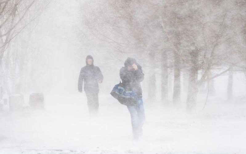
BETHEL, ALASKA SUFFERED ITS COLDEST NOVEMBER IN 82 YEARS
November was brutally cold across much of Alaska, including in Bethel.
In fact, the Southwest Alaska hub suffered its coldest November in more than 80 years, and its second coldest in weather books dating back more than a century: With an average temperature of just
-17.4C (0.7F), to find a colder Nov in Bethel, “you have to go all the way back to 1939,” said Rick Thoman, a climate specialist at the University of Alaska Fairbanks, when an average of -17.7C (0.1F) was logged:
View: https://twitter.com/AlaskaWx/status/1466088305770971140
The deep cold is causing problems around town, reports
alaskapublic.org. It’s the kind of cold that feels like it slaps you across the face. It
freezes barges in their tracks. It makes pipes burst open.
“My pipes are all in my garage,” said Bethel resident Kyle Roberson; “I went into the office for like two hours. And I left the garage door open, and everything froze up,” he said.
For those with pipes prone to freezing, be warned said Thoman: This winter could pan out to be a cold one, in part because of historically early sea ice building in the Arctic, particularly in the Bering Sea, “which is a thumb on the scale to tell us to tilt us to colder winters,” said Thoman, adding, “the Climate Prediction Center, operated by the NWS, is forecasting increased chances for significantly below normal temperatures for this upcoming winter.”
...soon to be the outright highest of the past two decades (since 2001). Grand Solar Minimum. Prepare accordingly.
electroverse.net
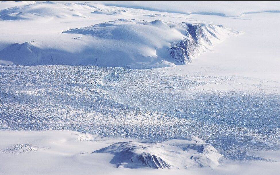
A new trend has now emerged across the Greenland ice sheet, and it's one of catastrophic embarrassment for the AGW Party.
electroverse.net
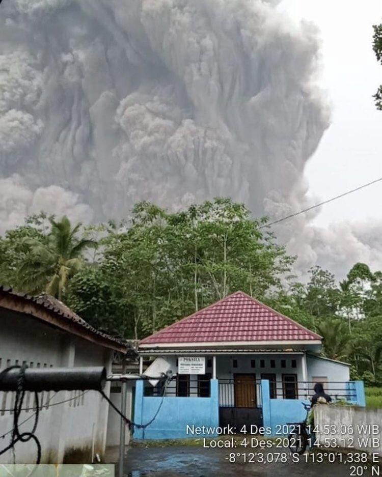
GRÍMSVÖTN VOLCANO ALERT
Iceland has raised its eruption alert level to “orange” its most active volcano, Grímsvötn, after several recent earthquakes —
Authorities said on Monday that a magnitude 3.6 quake was registered; however, although seismic activity had increased, officials say they have not yet detected any tremors that have caused a surge in underground magma.
“This seismic activity may be due to the decrease in pressure above the volcano, as the floodwaters leave the Grimsvötn subglacial lake,” said the Icelandic Meteorological Office (IMO).
A “red” warning would mean that an eruption is imminent, which the IMO is not ruling out for the coming weeks/months.
Of today’s reawakening volcanoes (linked to our decent into the next
Grand Solar Minimum), those located in Iceland are perhaps the most concerning. It is this highly-volcanic region that will likely be home to the next “big one” (a repeat of the
536 AD eruption that took out the Roman Republic?) — the one that will plunge Earth into its next volcanic winter.
Icelandic scientists have been carefully monitoring Grímsvötn since its 20km (66,000 ft) Plinian eruption in 2011:
View: https://twitter.com/subglacial/status/1466726690021859341
But to put that, and other, recent eruptions into context –including Pinatubo’s 1991 blow-off which dropped global temps by 0.6C– the below graphic reveals what planet Earth is capable of:
View: https://twitter.com/HubGeology/status/1468047706757033987
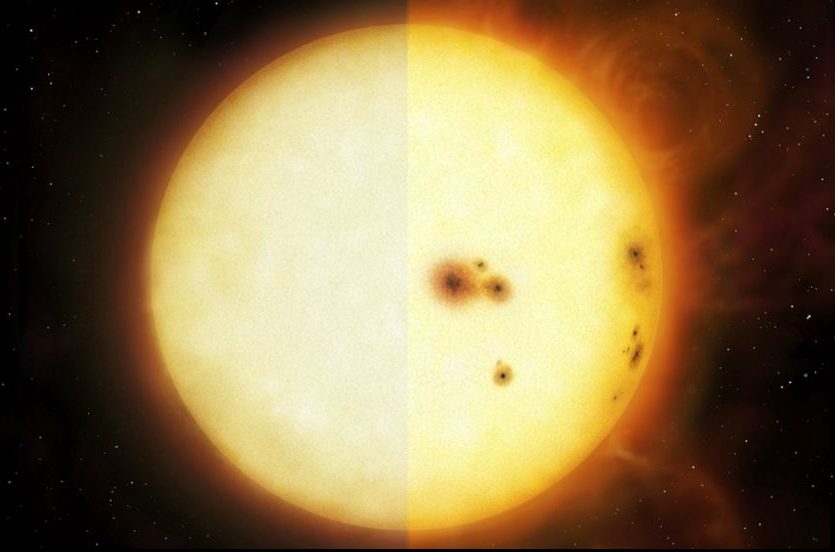
VOLCANIC UPTICK CORRELATES WITH CHANGES IN THE SUN
Volcanic eruptions are one of the key forcings driving Earth into its next bout of global cooling.
Volcanic ash (particulates) fired above 10km –and so into the stratosphere–– shade sunlight and reduce terrestrial temperatures. The smaller particulates from an eruption can linger in the upper atmosphere for years, or even decades+ at a time.
Today’s worldwide volcanic (and seismic) uptick is thought to be tied to low solar activity, coronal holes, a waning magnetosphere, and the influx of Cosmic Rays penetrating silica-rich magma.
According to the 15x NASA satellites that measure every square inch of the lower troposphere, Earth's temperature was warmer back in 1987.
electroverse.net
The
COLD TIMES are returning, the mid-latitudes are
REFREEZING, in line with
the great conjunction,
historically low solar activity,
cloud-nucleating Cosmic Rays, and a
meridional jet stream flow (among other forcings).
Both NOAA and NASA appear to agree,
if you read between the lines, with NOAA saying we’re entering a
‘full-blown’ Grand Solar Minimum in the late-2020s, and NASA seeing this upcoming solar cycle
(25) as “
the weakest of the past 200 years”, with the agency correlating previous solar shutdowns to prolonged periods of global cooling
here.
Furthermore, we can’t ignore the slew of new scientific papers stating the immense impact
The Beaufort Gyre could have on the Gulf Stream, and therefore the climate overall.

 Prepare accordingly
—
learn the facts, relocate if need be, and grow your own.


")


")


")


